Alley between the Market Place and Butter Market, Caistor
Introduction
The photograph on this page of Alley between the Market Place and Butter Market, Caistor by Jonathan Thacker as part of the Geograph project.
The Geograph project started in 2005 with the aim of publishing, organising and preserving representative images for every square kilometre of Great Britain, Ireland and the Isle of Man.

There are currently over 7.5m images from over 14,400 individuals and you can help contribute to the project by visiting https://www.geograph.org.uk
Alley between the Market Place and Butter Market, Caistor
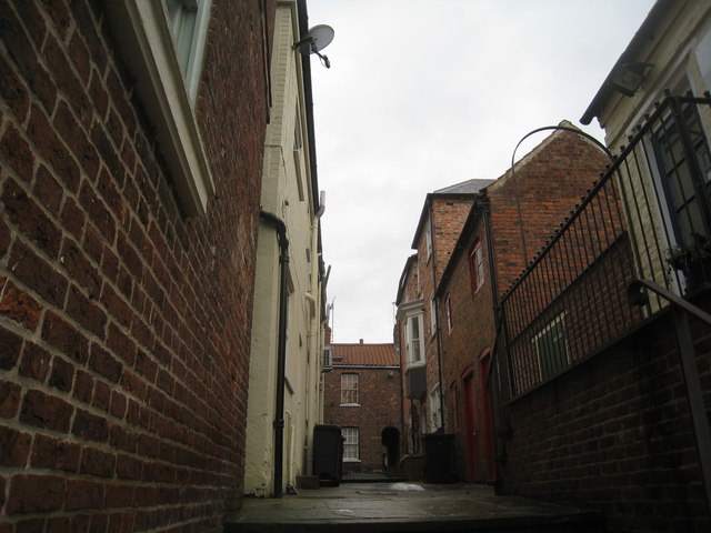
Image: © Jonathan Thacker Taken: 1 Jan 2011
Caistor Market Place is in two oddly shaped parts on a steeply sloping site. This alleyway links the larger, lower part to Butter Market which lies at the same level as the upper part of the Market Place, suggesting that the buildings on either side of this alleyway are encroachments on a once much larger, rectangular Market Place.
Images are licensed for reuse under creativecommons.org/licenses/by-sa/2.0
Image Location
Latitude
53.496235
Longitude
-0.31434