The White House and Caistor House
Introduction
The photograph on this page of The White House and Caistor House by Jonathan Thacker as part of the Geograph project.
The Geograph project started in 2005 with the aim of publishing, organising and preserving representative images for every square kilometre of Great Britain, Ireland and the Isle of Man.

There are currently over 7.5m images from over 14,400 individuals and you can help contribute to the project by visiting https://www.geograph.org.uk
The White House and Caistor House
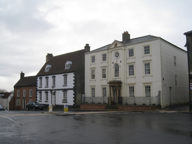
Image: © Jonathan Thacker Taken: 1 Jan 2011
The White House is on the left and dates from 1701. Caistor House on the right is an eighteenth century refronting of a house of 1682.
Images are licensed for reuse under creativecommons.org/licenses/by-sa/2.0
Image Location
Latitude
53.49625
Longitude
-0.315395