Nazareth Gardens, SE15
Introduction
The photograph on this page of Nazareth Gardens, SE15 by Danny P Robinson as part of the Geograph project.
The Geograph project started in 2005 with the aim of publishing, organising and preserving representative images for every square kilometre of Great Britain, Ireland and the Isle of Man.

There are currently over 7.5m images from over 14,400 individuals and you can help contribute to the project by visiting https://www.geograph.org.uk
Nazareth Gardens, SE15
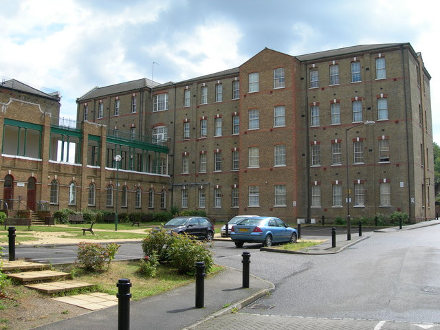
Image: © Danny P Robinson Taken: 19 Aug 2006
This site has quite a history. It was the site of a convent until the mid 19th century, then for over 120 years it was a hostel for homeless people. Now it has been converted into flats. This link tells a little more about "The Camberwell Spike" as it was once known. It is not in Camberwell, though, and there is uncertainty about how the term "Spike" for a hostel originated. http://briandeer.com/social/london-homeless.htm
Images are licensed for reuse under creativecommons.org/licenses/by-sa/2.0
Image Location
Latitude
51.469642
Longitude
-0.062088