Formerly, The White Horse Public House, Lower Eythorne
Introduction
The photograph on this page of Formerly, The White Horse Public House, Lower Eythorne by David Anstiss as part of the Geograph project.
The Geograph project started in 2005 with the aim of publishing, organising and preserving representative images for every square kilometre of Great Britain, Ireland and the Isle of Man.

There are currently over 7.5m images from over 14,400 individuals and you can help contribute to the project by visiting https://www.geograph.org.uk
Formerly, The White Horse Public House, Lower Eythorne
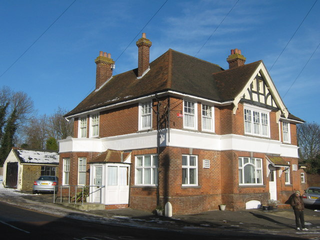
Image: © David Anstiss Taken: 26 Dec 2010
This was a public house on the junction of Church Hill (on the left) and Wigmore Lane (on the right). Closed in 2007 See Image Now converted into a private house.
Images are licensed for reuse under creativecommons.org/licenses/by-sa/2.0
Image Location
Latitude
51.200518
Longitude
1.263116