Former Methodist Church, Guildhall Street
Introduction
The photograph on this page of Former Methodist Church, Guildhall Street by Jonathan Thacker as part of the Geograph project.
The Geograph project started in 2005 with the aim of publishing, organising and preserving representative images for every square kilometre of Great Britain, Ireland and the Isle of Man.

There are currently over 7.5m images from over 14,400 individuals and you can help contribute to the project by visiting https://www.geograph.org.uk
Former Methodist Church, Guildhall Street
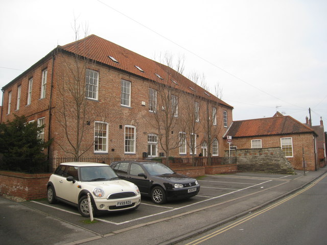
Image: © Jonathan Thacker Taken: 3 Jan 2011
For something of the history of this building which has seen several uses see http://www.ournottinghamshire.org.uk/page_id__669_path__0p31p38p50p.aspx
Images are licensed for reuse under creativecommons.org/licenses/by-sa/2.0
Image Location
Latitude
53.074625
Longitude
-0.805845