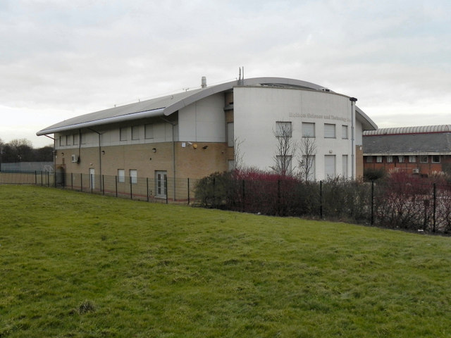
Bolton Science and Technology Centre
Introduction
The photograph on this page of Bolton Science and Technology Centre by David Dixon as part of the Geograph project.
The Geograph project started in 2005 with the aim of publishing, organising and preserving representative images for every square kilometre of Great Britain, Ireland and the Isle of Man.
There are currently over 7.5m images from over 14,400 individuals and you can help contribute to the project by visiting https://www.geograph.org.uk

Image: © David Dixon Taken: 3 Jan 2011
The Science and Technology Centre, on Minerva Road, was formerly known as the "Technology Innovation Centre" (TIC). According to its website (http://www.help4me.info/service.aspx?serviceid=%7B88c312b5-19fd-49d4-a059-9853b3c51839%7D ), "Bolton Technical Innovation Centre is the UK's first 'junior incubator' - a purpose-built academy for young inventors and future entrepreneurs." Unfortunately, cutbacks initiated by the coalition Government's spending review mean that the teaching and learning aspect of the centre is being axed. However, the centre will continue to offer conferencing facilities, at least for the short term future. (http://www.theboltonnews.co.uk/news/8372389.Science_centre_for_for_city_centre_riot_schools_is_victim_of_council_cuts/ - The Bolton News). The building lies across the OS grid line; the back of the building and its west side lie in SD7106, whilst the front and east side are in SD7206 (Image])

