Snitton Lane
Introduction
The photograph on this page of Snitton Lane by Trevor Rickard as part of the Geograph project.
The Geograph project started in 2005 with the aim of publishing, organising and preserving representative images for every square kilometre of Great Britain, Ireland and the Isle of Man.

There are currently over 7.5m images from over 14,400 individuals and you can help contribute to the project by visiting https://www.geograph.org.uk
Snitton Lane
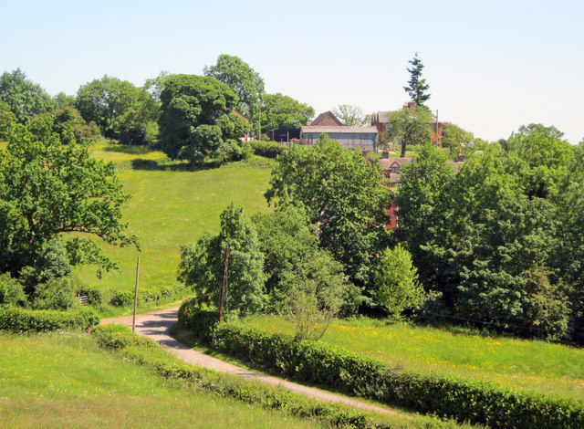
Image: © Trevor Rickard Taken: 16 Jun 2010
View south-east along the lane, which snakes past Knowbury House at the top of the next hill.
Images are licensed for reuse under creativecommons.org/licenses/by-sa/2.0
Image Location
Latitude
52.36929
Longitude
-2.63107