Reigate Town Hall
Introduction
The photograph on this page of Reigate Town Hall by Ian Capper as part of the Geograph project.
The Geograph project started in 2005 with the aim of publishing, organising and preserving representative images for every square kilometre of Great Britain, Ireland and the Isle of Man.

There are currently over 7.5m images from over 14,400 individuals and you can help contribute to the project by visiting https://www.geograph.org.uk
Reigate Town Hall
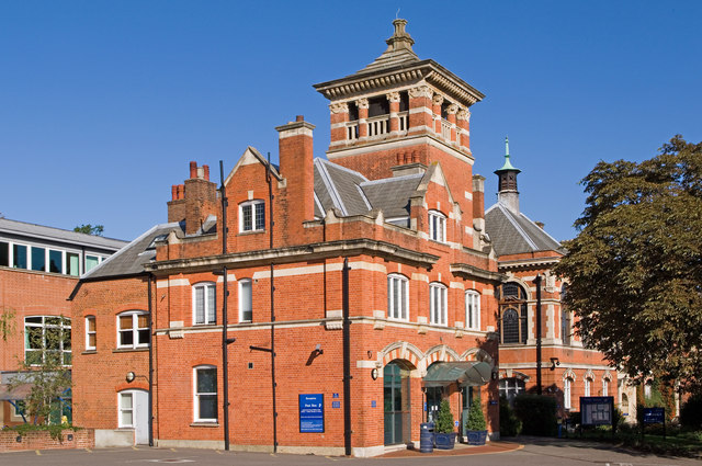
Image: © Ian Capper Taken: 25 Sep 2010
See Image for description of whole building. This section, at the southern end, was originally the Fire Station. On the left is part of a more recent addition to the building.
Images are licensed for reuse under creativecommons.org/licenses/by-sa/2.0
Image Location
Latitude
51.238971
Longitude
-0.204987