Snitton Hall Farm
Introduction
The photograph on this page of Snitton Hall Farm by Trevor Rickard as part of the Geograph project.
The Geograph project started in 2005 with the aim of publishing, organising and preserving representative images for every square kilometre of Great Britain, Ireland and the Isle of Man.

There are currently over 7.5m images from over 14,400 individuals and you can help contribute to the project by visiting https://www.geograph.org.uk
Snitton Hall Farm
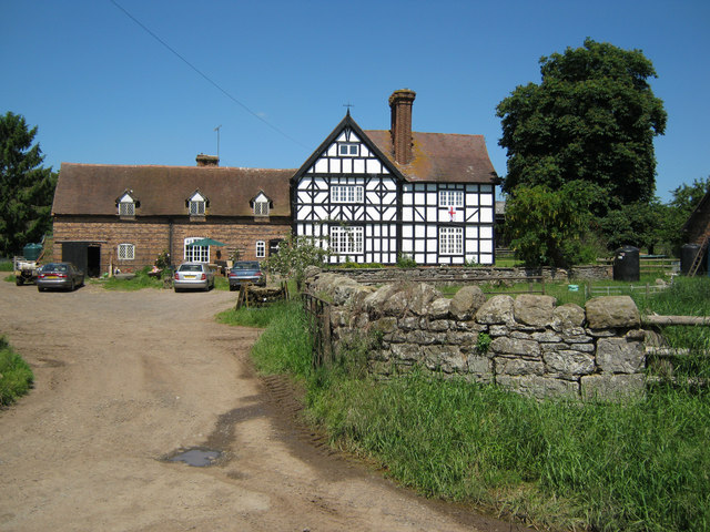
Image: © Trevor Rickard Taken: 16 Jun 2010
Timber-framed farmhouse in fine condition on the north side of Snitton Lane.
Images are licensed for reuse under creativecommons.org/licenses/by-sa/2.0
Image Location
Latitude
52.374393
Longitude
-2.651561