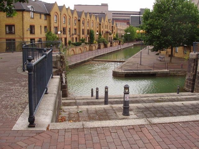
Canals of Wapping
Introduction
The photograph on this page of Canals of Wapping by David Williams as part of the Geograph project.
The Geograph project started in 2005 with the aim of publishing, organising and preserving representative images for every square kilometre of Great Britain, Ireland and the Isle of Man.
There are currently over 7.5m images from over 14,400 individuals and you can help contribute to the project by visiting https://www.geograph.org.uk

Image: © David Williams Taken: 12 Aug 2006
It is hard to imagine that just over 30 years ago, this area was one huge inland dock. The London Dock at Wapping was completed in 1805 to serve the growing trade coming into London. By the 1960s the docks were almost derelict so the London Docklands Development Corporation drained the area and built a huge estate of mixed housing. The canals that remain are a link with the past but this is now a quiet residential area where once it was the heart of dockland.

