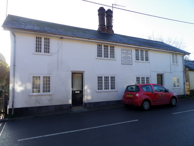
Flood Cottages, Tilshead
Introduction
The photograph on this page of Flood Cottages, Tilshead by Maigheach-gheal as part of the Geograph project.
The Geograph project started in 2005 with the aim of publishing, organising and preserving representative images for every square kilometre of Great Britain, Ireland and the Isle of Man.
There are currently over 7.5m images from over 14,400 individuals and you can help contribute to the project by visiting https://www.geograph.org.uk

Image: © Maigheach-gheal Taken: 12 Dec 2010
The cottages are built in 1842 of the plastered cob. Cob has been used extensively for thousands of years. In Britain there is evidence of its use dating back to the C13th. It was used as a cheap and readily available building material, which required the minimum of tools, skills and knowledge to use. Cob was the traditional method of earth wall construction. It developed in areas with poor building stone or limited timber supply. Its use was predominant in the south-western counties and parts of Hampshire. During the C19th. there was a surge in cob building as taxes prohibited the lower classes from building in brick. However, towards the middle of the century when the taxes were repealed, cob construction tailed off, and by the turn of the century very little new cob building was taking place. A large cast-iron plaque, on wall in the centre of front first floor, commemorates the building of the cottages. For a close-up of the plaque Image

