The Burnley Way below Lower Small Hazels Farm
Introduction
The photograph on this page of The Burnley Way below Lower Small Hazels Farm by Bill Boaden as part of the Geograph project.
The Geograph project started in 2005 with the aim of publishing, organising and preserving representative images for every square kilometre of Great Britain, Ireland and the Isle of Man.

There are currently over 7.5m images from over 14,400 individuals and you can help contribute to the project by visiting https://www.geograph.org.uk
The Burnley Way below Lower Small Hazels Farm
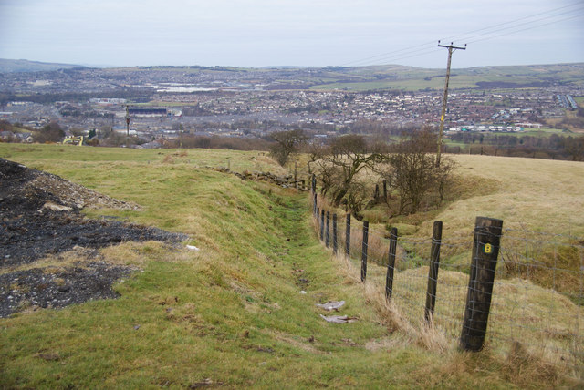
Image: © Bill Boaden Taken: 2 Jan 2011
Burnley is at the bottom, with Turf Moor football ground left centre.
Images are licensed for reuse under creativecommons.org/licenses/by-sa/2.0
Image Location
Latitude
53.771949
Longitude
-2.23999