A bypass channel built in 2003 to alleviate flooding in Bradiford
Introduction
The photograph on this page of A bypass channel built in 2003 to alleviate flooding in Bradiford by Roger A Smith as part of the Geograph project.
The Geograph project started in 2005 with the aim of publishing, organising and preserving representative images for every square kilometre of Great Britain, Ireland and the Isle of Man.

There are currently over 7.5m images from over 14,400 individuals and you can help contribute to the project by visiting https://www.geograph.org.uk
A bypass channel built in 2003 to alleviate flooding in Bradiford
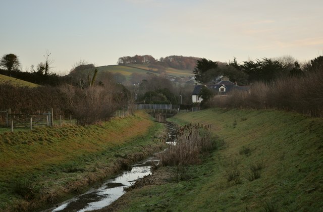
Image: © Roger A Smith Taken: 30 Dec 2010
This leat once served a number of mills including Anchor Mill and Lions Mill. It appears to end in marsh land through which runs Bradiford Water. See also: Image
Images are licensed for reuse under creativecommons.org/licenses/by-sa/2.0
Image Location


Leaflet Map data © OpenStreetMap
Latitude
51.090077
Longitude
-4.072131