Huckles Brook near North Gorley
Introduction
The photograph on this page of Huckles Brook near North Gorley by Maigheach-gheal as part of the Geograph project.
The Geograph project started in 2005 with the aim of publishing, organising and preserving representative images for every square kilometre of Great Britain, Ireland and the Isle of Man.

There are currently over 7.5m images from over 14,400 individuals and you can help contribute to the project by visiting https://www.geograph.org.uk
Huckles Brook near North Gorley
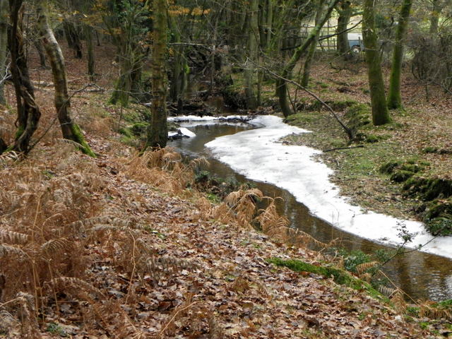
Image: © Maigheach-gheal Taken: 10 Dec 2010
Due to the recent cold snap the brook has frozen in places.
Images are licensed for reuse under creativecommons.org/licenses/by-sa/2.0
Image Location


Leaflet Map data © OpenStreetMap
Latitude
50.902276
Longitude
-1.758904