Aylburton Cross.
Introduction
The photograph on this page of Aylburton Cross. by Christopher Clift as part of the Geograph project.
The Geograph project started in 2005 with the aim of publishing, organising and preserving representative images for every square kilometre of Great Britain, Ireland and the Isle of Man.

There are currently over 7.5m images from over 14,400 individuals and you can help contribute to the project by visiting https://www.geograph.org.uk
Aylburton Cross.
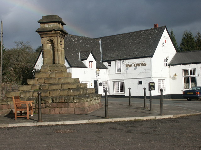
Image: © Christopher Clift Taken: Unknown
The cross dates from the 14th century, and used as a preaching cross by travelling Friars to preach to the public. The cross was repaired in 1841, and moved in the early 1960s in order to widen the A48, Chepstow to Lydney road.
Images are licensed for reuse under creativecommons.org/licenses/by-sa/2.0
Image Location
Latitude
51.712715
Longitude
-2.555742