Disused Bowes Railway
Introduction
The photograph on this page of Disused Bowes Railway by Chris Heaton as part of the Geograph project.
The Geograph project started in 2005 with the aim of publishing, organising and preserving representative images for every square kilometre of Great Britain, Ireland and the Isle of Man.

There are currently over 7.5m images from over 14,400 individuals and you can help contribute to the project by visiting https://www.geograph.org.uk
Disused Bowes Railway
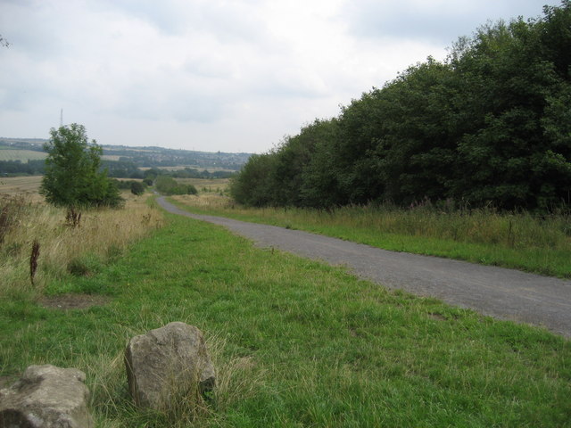
Image: © Chris Heaton Taken: 16 Aug 2006
Council has spent money surfacing this former railway trackbed for leisure purposes. Taken outside Kibblesworth it looks east leading down to the River Team.
Images are licensed for reuse under creativecommons.org/licenses/by-sa/2.0
Image Location
Latitude
54.902608
Longitude
-1.613225