Cattishall
Introduction
The photograph on this page of Cattishall by Bob Jones as part of the Geograph project.
The Geograph project started in 2005 with the aim of publishing, organising and preserving representative images for every square kilometre of Great Britain, Ireland and the Isle of Man.

There are currently over 7.5m images from over 14,400 individuals and you can help contribute to the project by visiting https://www.geograph.org.uk
Cattishall
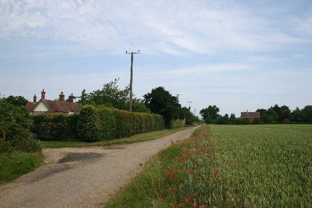
Image: © Bob Jones Taken: 28 Jun 2005
The ancient hamlet of Cattishall lies less than two miles east of the centre of Bury St Edmunds, yet is extremely remote, following the closure of a level crossing in the 1970s.
Images are licensed for reuse under creativecommons.org/licenses/by-sa/2.0
Image Location


Leaflet Map data © OpenStreetMap
Latitude
52.251778
Longitude
0.760074