Totteridge Lane
Introduction
The photograph on this page of Totteridge Lane by David Howard as part of the Geograph project.
The Geograph project started in 2005 with the aim of publishing, organising and preserving representative images for every square kilometre of Great Britain, Ireland and the Isle of Man.

There are currently over 7.5m images from over 14,400 individuals and you can help contribute to the project by visiting https://www.geograph.org.uk
Totteridge Lane
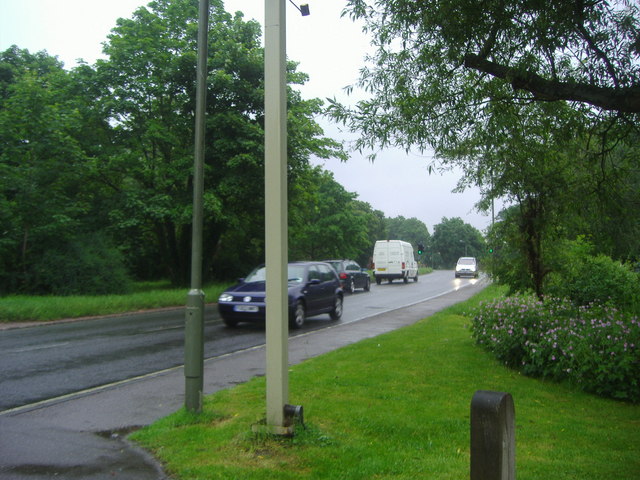
Image: © David Howard Taken: 3 Jun 2008
This part is now called Totteridge Village, as most of the houses only had names they decided rather than add numbers they'd divide the road up instead so people could locate the houses more easily.
Images are licensed for reuse under creativecommons.org/licenses/by-sa/2.0
Image Location
Latitude
51.630341
Longitude
-0.197715