Rochford: Ironwell Lane
Introduction
The photograph on this page of Rochford: Ironwell Lane by Nigel Cox as part of the Geograph project.
The Geograph project started in 2005 with the aim of publishing, organising and preserving representative images for every square kilometre of Great Britain, Ireland and the Isle of Man.

There are currently over 7.5m images from over 14,400 individuals and you can help contribute to the project by visiting https://www.geograph.org.uk
Rochford: Ironwell Lane
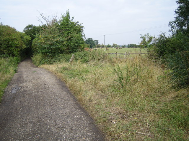
Image: © Nigel Cox Taken: 15 Aug 2006
An example of a Byway Open to All Traffic (a BOAT), this lane leads to Hawkwell from Rochford.
Images are licensed for reuse under creativecommons.org/licenses/by-sa/2.0
Image Location
Latitude
51.585056
Longitude
0.696365