Upper Norwood Woolworth's, closed
Introduction
The photograph on this page of Upper Norwood Woolworth's, closed by Christopher Hilton as part of the Geograph project.
The Geograph project started in 2005 with the aim of publishing, organising and preserving representative images for every square kilometre of Great Britain, Ireland and the Isle of Man.

There are currently over 7.5m images from over 14,400 individuals and you can help contribute to the project by visiting https://www.geograph.org.uk
Upper Norwood Woolworth's, closed
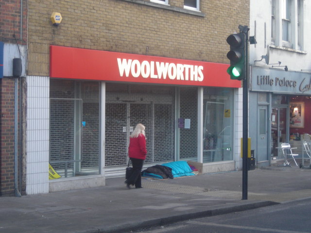
Image: © Christopher Hilton Taken: 6 Jan 2009
Taken some 48 hours or so after the collapse of Woolworths led to the branch closing; a homeless person began sleeping in the door as soon as the shop closed, which was unusual for the Norwood triangle.
Images are licensed for reuse under creativecommons.org/licenses/by-sa/2.0
Image Location
Latitude
51.419952
Longitude
-0.080874