Upper Norwood Public Library, gable end
Introduction
The photograph on this page of Upper Norwood Public Library, gable end by Christopher Hilton as part of the Geograph project.
The Geograph project started in 2005 with the aim of publishing, organising and preserving representative images for every square kilometre of Great Britain, Ireland and the Isle of Man.

There are currently over 7.5m images from over 14,400 individuals and you can help contribute to the project by visiting https://www.geograph.org.uk
Upper Norwood Public Library, gable end
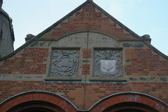
Image: © Christopher Hilton Taken: 14 Mar 2009
As Upper Norwood lies on a boundary (well, several) responsibility for the library is shared between the London Boroughs of Lambeth and Croydon, whose predecessors' arms are side by side on the gable end. See Image for the full elevation.
Images are licensed for reuse under creativecommons.org/licenses/by-sa/2.0
Image Location
Latitude
51.419959
Longitude
-0.081305