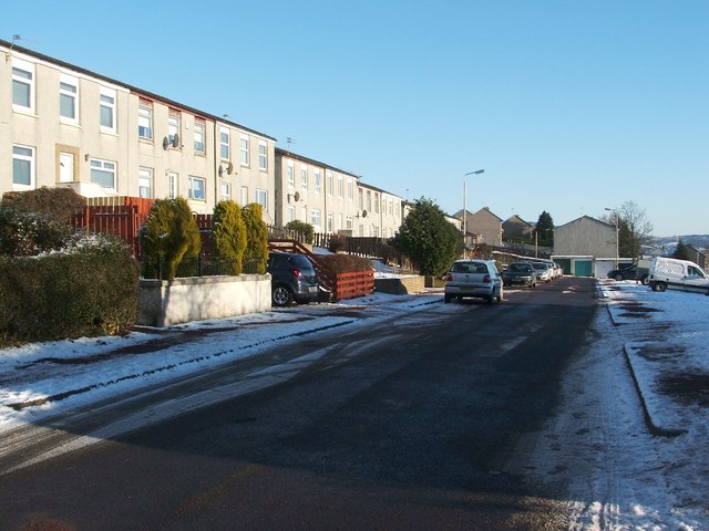
Perray Avenue, Hawthornhill
Introduction
The photograph on this page of Perray Avenue, Hawthornhill by Lairich Rig as part of the Geograph project.
The Geograph project started in 2005 with the aim of publishing, organising and preserving representative images for every square kilometre of Great Britain, Ireland and the Isle of Man.
There are currently over 7.5m images from over 14,400 individuals and you can help contribute to the project by visiting https://www.geograph.org.uk

Image: © Lairich Rig Taken: 24 Dec 2010
Perray Avenue is a short street attached to the northern side of Hawthornhill Road. About 350 metres to the west are the similarly-named Perrays Way, Drive, Crescent, Grove, and Court. About 600 metres to the north-west of the point where the photograph was taken is a small square of woodland (Image) called Perrays Wood (visible on the left in Image); this makes the origin of all of these street names clear. The same Image is mentioned in David Murray's book "Old Cardross: a lecture" (1880), where it is described as "the wood about halfway between Kellochy and Hawthornhill" (Kellochy, now long gone, was at Image; for Hawthornhill, see Image). The same work adds that "The Perrays" were "the two fields on the north of Hawthornhill, on the east and west of the road to Ardochbeg" (on which, see Image).

