Hightown, The Elm Tree
Introduction
The photograph on this page of Hightown, The Elm Tree by Mike Faherty as part of the Geograph project.
The Geograph project started in 2005 with the aim of publishing, organising and preserving representative images for every square kilometre of Great Britain, Ireland and the Isle of Man.

There are currently over 7.5m images from over 14,400 individuals and you can help contribute to the project by visiting https://www.geograph.org.uk
Hightown, The Elm Tree
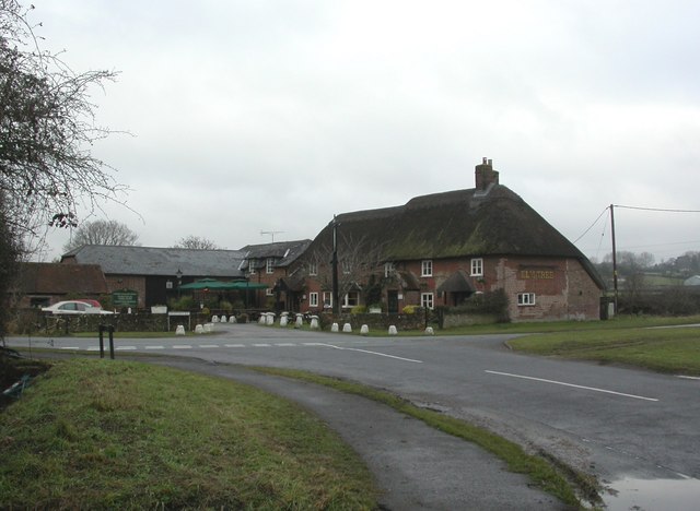
Image: © Mike Faherty Taken: 30 Dec 2010
Greene & King pub on Hightown Road, junction Crow Lane. Internally, bar at back, eating and drinking areas to left and right; low ceilings, wooden beams, darts, games machine, music. Cask ales on offer at my visit: Ruddles Best, H&H Olde Trip, Rocking Rudolph. Old OS maps show this once to have been Hightown Elm Farm. For some customer comments, see http://www.beerintheevening.com/pubs/s/29/2915/Elm_Tree_Inn/Hightown
Images are licensed for reuse under creativecommons.org/licenses/by-sa/2.0
Image Location
Latitude
50.843217
Longitude
-1.769718