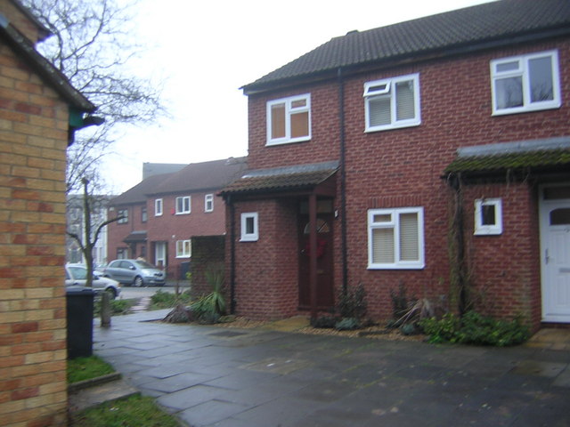
Ovett Close meets Brunel Close, in the Norwood triangle
Introduction
The photograph on this page of Ovett Close meets Brunel Close, in the Norwood triangle by Christopher Hilton as part of the Geograph project.
The Geograph project started in 2005 with the aim of publishing, organising and preserving representative images for every square kilometre of Great Britain, Ireland and the Isle of Man.
There are currently over 7.5m images from over 14,400 individuals and you can help contribute to the project by visiting https://www.geograph.org.uk

Image: © Christopher Hilton Taken: 30 Dec 2010
The centre of the Upper Norwood triangle used to be given over to light industry: joinery, engineering and so forth. Some works survive, but much of it now is made up of small housing estates, various cul-de-sac lanes into the triangle giving onto a network of pedestrian paths. Here Ovett Close coming in from the west meets Brunel Close coming in from the east and the two overlap; two no.24s face each other across the paving, to the despair of the local postmen.

