Wilsontown Branch
Introduction
The photograph on this page of Wilsontown Branch by Richard Webb as part of the Geograph project.
The Geograph project started in 2005 with the aim of publishing, organising and preserving representative images for every square kilometre of Great Britain, Ireland and the Isle of Man.

There are currently over 7.5m images from over 14,400 individuals and you can help contribute to the project by visiting https://www.geograph.org.uk
Wilsontown Branch
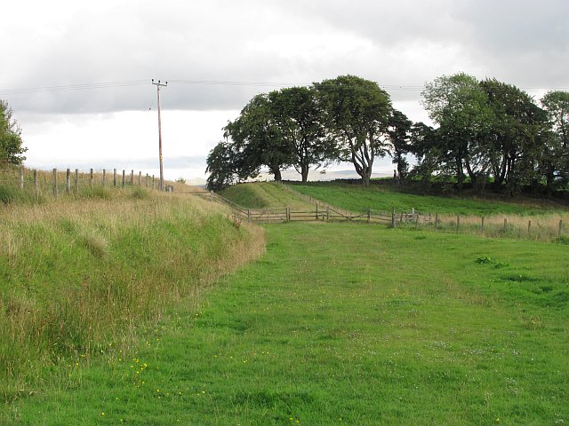
Image: © Richard Webb Taken: 10 Sep 2010
A railway which served the coal mining villages of Haywood and Wilsontown. Wilsontown was originally an iron smelting centre, but isolated from its markets and the sea. The railway arrived after the ironworks had closed.
Images are licensed for reuse under creativecommons.org/licenses/by-sa/2.0
Image Location
Latitude
55.774097
Longitude
-3.669199