
Stannerford Road, Crawcrook
Introduction
The photograph on this page of Stannerford Road, Crawcrook by Andrew Curtis as part of the Geograph project.
The Geograph project started in 2005 with the aim of publishing, organising and preserving representative images for every square kilometre of Great Britain, Ireland and the Isle of Man.

There are currently over 7.5m images from over 14,400 individuals and you can help contribute to the project by visiting https://www.geograph.org.uk
Stannerford Road, Crawcrook
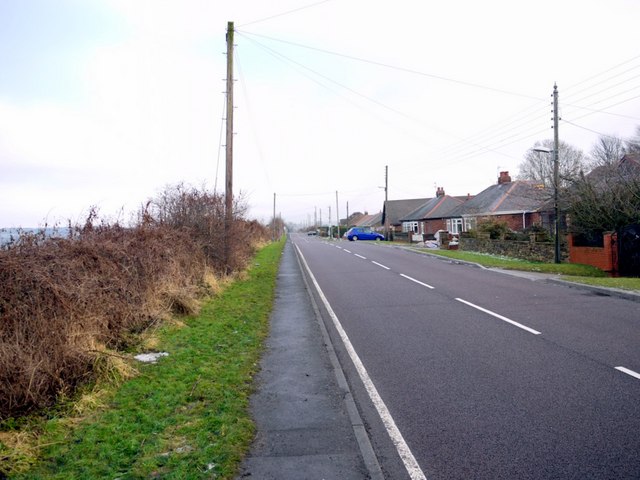
Image: © Andrew Curtis Taken: 30 Dec 2010
An access road only to the isolated village of Clara Vale from the through road from Wylam to Crawcrook. The name of the road comes from Stanner Ford an old route across the River Tyne near to Clara Vale. The 1:10560 OS Map from 1860 gives the approximate location of the ford as Image 'Stanners' is the local Geordie dialect name for parts of rivers covered by deposits of stones and gravel, often allowing people and animals to wade across (at least at low water) http://www.hawaii.edu/satocenter/langnet/definitions/geordie.html The name is used in this way on the Tyne at Ryton (Doctor's Stanners), Corbridge and Newburn, and on other rivers in Warkworth and near Morpeth.
Images are licensed for reuse under creativecommons.org/licenses/by-sa/2.0
Image Location

Latitude
54.971882
Longitude
-1.7933