Upper Clatford - Footpath
Introduction
The photograph on this page of Upper Clatford - Footpath by Chris Talbot as part of the Geograph project.
The Geograph project started in 2005 with the aim of publishing, organising and preserving representative images for every square kilometre of Great Britain, Ireland and the Isle of Man.

There are currently over 7.5m images from over 14,400 individuals and you can help contribute to the project by visiting https://www.geograph.org.uk
Upper Clatford - Footpath
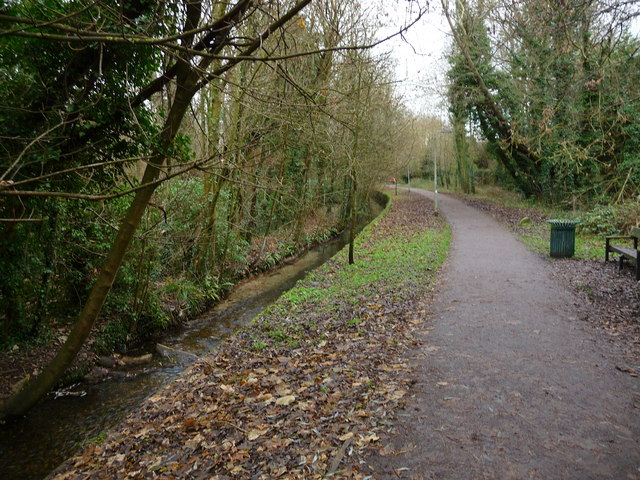
Image: © Chris Talbot Taken: 11 Dec 2010
This path leeds from Upper Clatford into Andover
Images are licensed for reuse under creativecommons.org/licenses/by-sa/2.0
Image Location
Latitude
51.198626
Longitude
-1.494736