Sainsbury's, Manor Road, Richmond
Introduction
The photograph on this page of Sainsbury's, Manor Road, Richmond by Stefan Czapski as part of the Geograph project.
The Geograph project started in 2005 with the aim of publishing, organising and preserving representative images for every square kilometre of Great Britain, Ireland and the Isle of Man.

There are currently over 7.5m images from over 14,400 individuals and you can help contribute to the project by visiting https://www.geograph.org.uk
Sainsbury's, Manor Road, Richmond
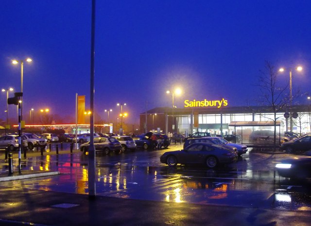
Image: © Stefan Czapski Taken: 29 Dec 2010
The Sainsbury's site lies in the angle between the A316 and Manor Road. This is the view looking eastward from Manor Road. To the left of the supermarket, next to the A316, is a Sainsbury's filling station. Taken on a mild, drizzly evening, following a long cold spell with snow on the ground.
Images are licensed for reuse under creativecommons.org/licenses/by-sa/2.0
Image Location
Latitude
51.466666
Longitude
-0.286811