Mews near Westwell Road
Introduction
The photograph on this page of Mews near Westwell Road by Stephen Richards as part of the Geograph project.
The Geograph project started in 2005 with the aim of publishing, organising and preserving representative images for every square kilometre of Great Britain, Ireland and the Isle of Man.

There are currently over 7.5m images from over 14,400 individuals and you can help contribute to the project by visiting https://www.geograph.org.uk
Mews near Westwell Road
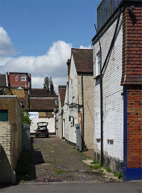
Image: © Stephen Richards Taken: Unknown
This access way for shops on Streatham High Road is within the Streatham Common Conservation Area. Lambeth Council's idea was that it would enable greater control over any future proposals to develop the site.
Images are licensed for reuse under creativecommons.org/licenses/by-sa/2.0
Image Location
Latitude
51.421094
Longitude
-0.129297