High Street Northwood
Introduction
The photograph on this page of High Street Northwood by David Howard as part of the Geograph project.
The Geograph project started in 2005 with the aim of publishing, organising and preserving representative images for every square kilometre of Great Britain, Ireland and the Isle of Man.

There are currently over 7.5m images from over 14,400 individuals and you can help contribute to the project by visiting https://www.geograph.org.uk
High Street Northwood
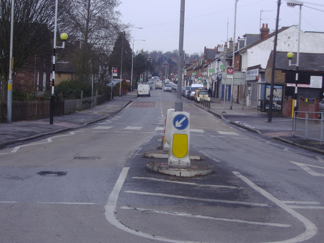
Image: © David Howard Taken: 4 Feb 2009
Like Teddington the road named 'High Street' in Northwood is not in fact the main street but a historic artifact.
Images are licensed for reuse under creativecommons.org/licenses/by-sa/2.0
Image Location
Latitude
51.60519
Longitude
-0.417924