Footpath alongside Kenilworth cemetery
Introduction
The photograph on this page of Footpath alongside Kenilworth cemetery by John Brightley as part of the Geograph project.
The Geograph project started in 2005 with the aim of publishing, organising and preserving representative images for every square kilometre of Great Britain, Ireland and the Isle of Man.

There are currently over 7.5m images from over 14,400 individuals and you can help contribute to the project by visiting https://www.geograph.org.uk
Footpath alongside Kenilworth cemetery
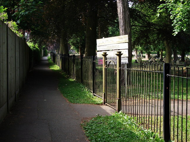
Image: © John Brightley Taken: 6 Jun 2010
This footpath runs from Randall Road behind properties in St.Nicholas Avenue to Oaks Road, and along the boundary of the cemetery which can be seen on the right.It dates from well before the cemetery and the houses were constructed - it is shown on the 1888 OS map as part of a footpath running from the town centre to Goodrest Farm, Leek Wootton. The section of the footpath south of Rounds Hill also still exists, but the central section disappeared with the building of the Dudley Road estate.
Images are licensed for reuse under creativecommons.org/licenses/by-sa/2.0
Image Location
Latitude
52.338684
Longitude
-1.582537