Gosfield Airfield
Introduction
The photograph on this page of Gosfield Airfield by Glyn Baker as part of the Geograph project.
The Geograph project started in 2005 with the aim of publishing, organising and preserving representative images for every square kilometre of Great Britain, Ireland and the Isle of Man.

There are currently over 7.5m images from over 14,400 individuals and you can help contribute to the project by visiting https://www.geograph.org.uk
Gosfield Airfield
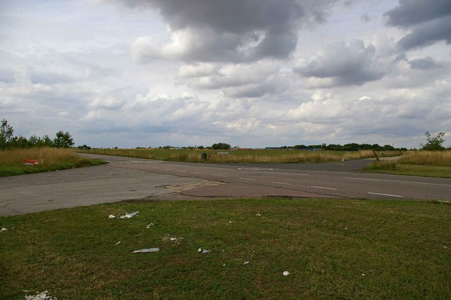
Image: © Glyn Baker Taken: 17 Aug 2006
This is the crossing point of the Perimeter track and the end of a runway on the former Gosfield Airfield. Gosfield operated from 1943 initially as a fighter station using P47s, later the base was returned to its intended use as a bomber field operating A20s. Late on in the war C47 Dakotas operated Horsa gliders from the base. Today there is a community woodland, industrial units and the Consumers Association Image on the base. To go to the next field in an alphabetical tour of Essex WW2 airfields click on Image Much information was gleaned from Graham Smith’s book “Essex Airfields In The Second World War”. https://books.google.co.uk/books/about/Essex_Airfields_in_the_Second_World_War.html?id=u3atAAAACAAJ&redir_esc=y
Images are licensed for reuse under creativecommons.org/licenses/by-sa/2.0
Image Location
Latitude
51.948897
Longitude
0.589639