Colehayes Lake Stone Bridge
Introduction
The photograph on this page of Colehayes Lake Stone Bridge by Ann Sawers as part of the Geograph project.
The Geograph project started in 2005 with the aim of publishing, organising and preserving representative images for every square kilometre of Great Britain, Ireland and the Isle of Man.

There are currently over 7.5m images from over 14,400 individuals and you can help contribute to the project by visiting https://www.geograph.org.uk
Colehayes Lake Stone Bridge
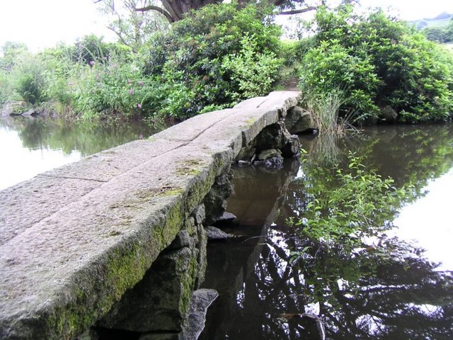
Image: © Ann Sawers Taken: Unknown
The stone bridge which connects to the island where the Cedar tree grows.
Images are licensed for reuse under creativecommons.org/licenses/by-sa/2.0
Image Location
Latitude
50.587141
Longitude
-3.706955