Fifteenth Century house, Church Road
Introduction
The photograph on this page of Fifteenth Century house, Church Road by C P Smith as part of the Geograph project.
The Geograph project started in 2005 with the aim of publishing, organising and preserving representative images for every square kilometre of Great Britain, Ireland and the Isle of Man.

There are currently over 7.5m images from over 14,400 individuals and you can help contribute to the project by visiting https://www.geograph.org.uk
Fifteenth Century house, Church Road
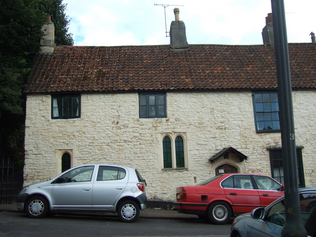
Image: © C P Smith Taken: 12 Aug 2010
This house at the top of Church Road dates from the 15th century and is presently used a religious study centre and house of prayer.
Images are licensed for reuse under creativecommons.org/licenses/by-sa/2.0
Image Location
Latitude
51.494101
Longitude
-2.616458