Northbourne: path linking East Howe Lane and Long Road
Introduction
The photograph on this page of Northbourne: path linking East Howe Lane and Long Road by Chris Downer as part of the Geograph project.
The Geograph project started in 2005 with the aim of publishing, organising and preserving representative images for every square kilometre of Great Britain, Ireland and the Isle of Man.

There are currently over 7.5m images from over 14,400 individuals and you can help contribute to the project by visiting https://www.geograph.org.uk
Northbourne: path linking East Howe Lane and Long Road
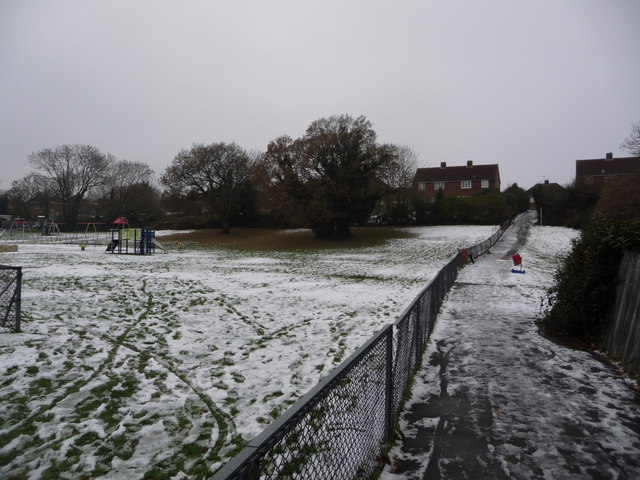
Image: © Chris Downer Taken: 25 Dec 2010
Looking along this path, from the East Howe Lane end, towards Long Road whose houses we see in the background. To the left is Image while to the right beyond the fence is Image
Images are licensed for reuse under creativecommons.org/licenses/by-sa/2.0
Image Location
Latitude
50.763814
Longitude
-1.896017