Main road, Kiln Pit Hill
Introduction
The photograph on this page of Main road, Kiln Pit Hill by Stephen Richards as part of the Geograph project.
The Geograph project started in 2005 with the aim of publishing, organising and preserving representative images for every square kilometre of Great Britain, Ireland and the Isle of Man.

There are currently over 7.5m images from over 14,400 individuals and you can help contribute to the project by visiting https://www.geograph.org.uk
Main road, Kiln Pit Hill
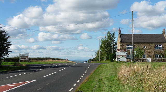
Image: © Stephen Richards Taken: Unknown
Kiln Pit Hill is marked on the OS map in quite large type, but there is really nothing here. It must have grown up around the crossroads on the A68, seen here looking north towards Corbridge. Could the house on the right once have been a pub or shop? The minor road left leads to Slaley (see here: Image]), right leads to Whittonstall.
Images are licensed for reuse under creativecommons.org/licenses/by-sa/2.0
Image Location


Leaflet Map data © OpenStreetMap
Latitude
54.891705
Longitude
-1.939947