Chailey Brickworks
Introduction
The photograph on this page of Chailey Brickworks by Simon Carey as part of the Geograph project.
The Geograph project started in 2005 with the aim of publishing, organising and preserving representative images for every square kilometre of Great Britain, Ireland and the Isle of Man.

There are currently over 7.5m images from over 14,400 individuals and you can help contribute to the project by visiting https://www.geograph.org.uk
Chailey Brickworks
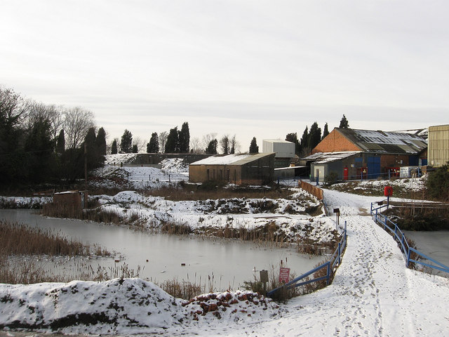
Image: © Simon Carey Taken: 26 Dec 2010
The former South Common lies on the clay belt and thus has been home to a brickworks for the last 300 years. The frozen pond to the left was marked as a working clay pit on the 1875 OS map though the buildings to the right seem to be postwar.
Images are licensed for reuse under creativecommons.org/licenses/by-sa/2.0
Image Location
Latitude
50.940702
Longitude
-0.020963