Hinders Lane
Introduction
The photograph on this page of Hinders Lane by Trevor Rickard as part of the Geograph project.
The Geograph project started in 2005 with the aim of publishing, organising and preserving representative images for every square kilometre of Great Britain, Ireland and the Isle of Man.

There are currently over 7.5m images from over 14,400 individuals and you can help contribute to the project by visiting https://www.geograph.org.uk
Hinders Lane
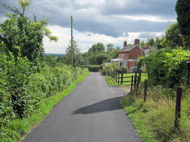
Image: © Trevor Rickard Taken: 2 Aug 2010
Looking south as the lane passes Myrtle Cottage before heading down the hill to join the A4136.
Images are licensed for reuse under creativecommons.org/licenses/by-sa/2.0
Image Location


Leaflet Map data © OpenStreetMap
Latitude
51.865756
Longitude
-2.423436