Matfen (1)
Introduction
The photograph on this page of Matfen (1) by Stephen Richards as part of the Geograph project.
The Geograph project started in 2005 with the aim of publishing, organising and preserving representative images for every square kilometre of Great Britain, Ireland and the Isle of Man.

There are currently over 7.5m images from over 14,400 individuals and you can help contribute to the project by visiting https://www.geograph.org.uk
Matfen (1)
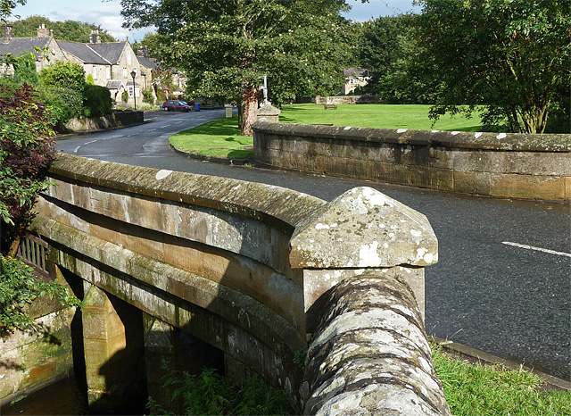
Image: © Stephen Richards Taken: Unknown
Matfen is an estate village par excellence. Mostly mid-C19th neo-Tudor. The bridge over Matfen Burn has two piers with triangular cutwaters. Above are lintels and moulded bands with pyramidal piers at the ends. Quite a grand affair for a modest crossing. Grade II listed. A small and lively-looking village including a shop from which I bought a loaf of very tasty local bread.
Images are licensed for reuse under creativecommons.org/licenses/by-sa/2.0
Image Location
Latitude
55.041421
Longitude
-1.954277