The road north out of Whitchurch, present and former
Introduction
The photograph on this page of The road north out of Whitchurch, present and former by HelenK as part of the Geograph project.
The Geograph project started in 2005 with the aim of publishing, organising and preserving representative images for every square kilometre of Great Britain, Ireland and the Isle of Man.

There are currently over 7.5m images from over 14,400 individuals and you can help contribute to the project by visiting https://www.geograph.org.uk
The road north out of Whitchurch, present and former
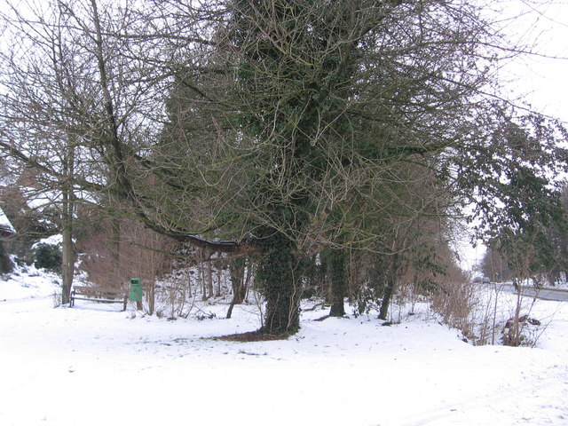
Image: © HelenK Taken: 27 Dec 2010
The present-day A413 heads north to Buckingham on the right. The road formerly followed the route of the track to the left of the bench and bin.
Images are licensed for reuse under creativecommons.org/licenses/by-sa/2.0
Image Location
Latitude
51.88273
Longitude
-0.838843