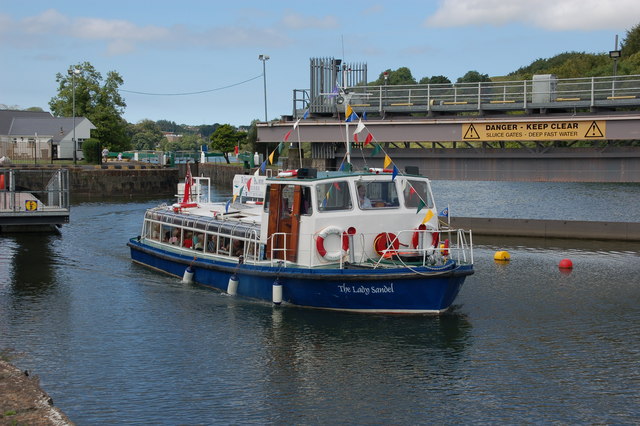
"The Lady Sandel" on the Bann (2)
Introduction
The photograph on this page of "The Lady Sandel" on the Bann (2) by Albert Bridge as part of the Geograph project.
The Geograph project started in 2005 with the aim of publishing, organising and preserving representative images for every square kilometre of Great Britain, Ireland and the Isle of Man.
There are currently over 7.5m images from over 14,400 individuals and you can help contribute to the project by visiting https://www.geograph.org.uk

Image: © Albert Bridge Taken: 17 Aug 2006
The River Bann can be quite attractive as it flows from Lough Neagh to the Atlantic near Castlerock. A previous attempt, in the mid-90’s to operate cruises failed partly due to the lack of tourists. Things have changed and “The Lady Sandel” is now operating successfully from Christie Park at Coleraine. She is seen heading upstream after leaving the lock at the Cutts (“Cuts” on the OS map). This trip was fully booked.

