Farmland near Kiln Pit Hill (2)
Introduction
The photograph on this page of Farmland near Kiln Pit Hill (2) by Stephen Richards as part of the Geograph project.
The Geograph project started in 2005 with the aim of publishing, organising and preserving representative images for every square kilometre of Great Britain, Ireland and the Isle of Man.

There are currently over 7.5m images from over 14,400 individuals and you can help contribute to the project by visiting https://www.geograph.org.uk
Farmland near Kiln Pit Hill (2)
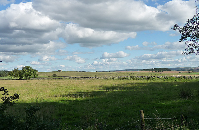
Image: © Stephen Richards Taken: Unknown
Quite elevated but flattish pasture. The small building on the left is marked on the map as 'Moor Game'.
Images are licensed for reuse under creativecommons.org/licenses/by-sa/2.0
Image Location
Latitude
54.8821
Longitude
-1.96677