Round House at crossroads
Introduction
The photograph on this page of Round House at crossroads by Shazz as part of the Geograph project.
The Geograph project started in 2005 with the aim of publishing, organising and preserving representative images for every square kilometre of Great Britain, Ireland and the Isle of Man.

There are currently over 7.5m images from over 14,400 individuals and you can help contribute to the project by visiting https://www.geograph.org.uk
Round House at crossroads
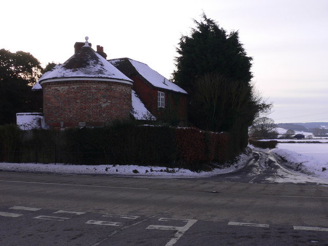
Image: © Shazz Taken: 26 Dec 2010
The main road in the foreground is the B3006, ahead is a lane to Lower Farringdon.
Images are licensed for reuse under creativecommons.org/licenses/by-sa/2.0
Image Location
Latitude
51.123893
Longitude
-0.951707