Bowpatch Road, Areley Kings, Stourport-on-Severn
Introduction
The photograph on this page of Bowpatch Road, Areley Kings, Stourport-on-Severn by P L Chadwick as part of the Geograph project.
The Geograph project started in 2005 with the aim of publishing, organising and preserving representative images for every square kilometre of Great Britain, Ireland and the Isle of Man.

There are currently over 7.5m images from over 14,400 individuals and you can help contribute to the project by visiting https://www.geograph.org.uk
Bowpatch Road, Areley Kings, Stourport-on-Severn
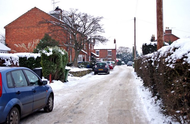
Image: © P L Chadwick Taken: 26 Dec 2010
The road is a cul-de-sac off the road known as Areley Commons. Towards its end Bowpatch Road makes a left turn, and then shortly terminates. Image
Images are licensed for reuse under creativecommons.org/licenses/by-sa/2.0
Image Location
Latitude
52.327817
Longitude
-2.293866