The Edge of Rathen
Introduction
The photograph on this page of The Edge of Rathen by Colin Smith as part of the Geograph project.
The Geograph project started in 2005 with the aim of publishing, organising and preserving representative images for every square kilometre of Great Britain, Ireland and the Isle of Man.

There are currently over 7.5m images from over 14,400 individuals and you can help contribute to the project by visiting https://www.geograph.org.uk
The Edge of Rathen
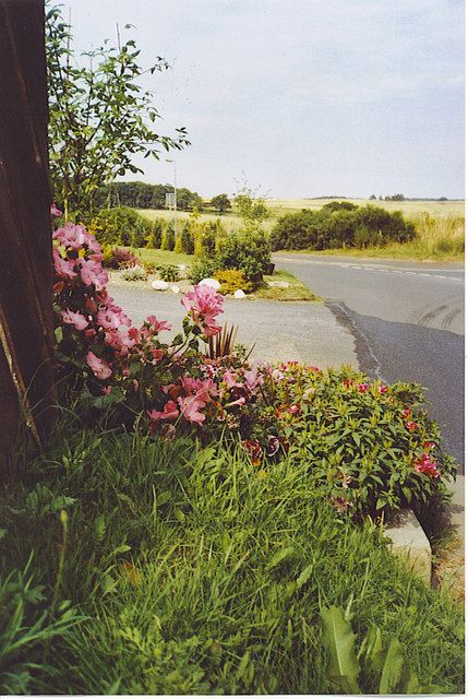
Image: © Colin Smith Taken: 25 Jul 2006
This small village has a mix of old and new cottages. Rathen is connected to the main A92 by the minor road above. Some of the gardens, like this one, stretch to the road verges. Beyond are some of the large cereal fields of Buchan, a very rich farming area.
Images are licensed for reuse under creativecommons.org/licenses/by-sa/2.0
Image Location


Leaflet Map data © OpenStreetMap
Latitude
57.637141
Longitude
-2.003336