The start of Bowpatch Road, Areley Kings, Stourport-on-Severn
Introduction
The photograph on this page of The start of Bowpatch Road, Areley Kings, Stourport-on-Severn by P L Chadwick as part of the Geograph project.
The Geograph project started in 2005 with the aim of publishing, organising and preserving representative images for every square kilometre of Great Britain, Ireland and the Isle of Man.

There are currently over 7.5m images from over 14,400 individuals and you can help contribute to the project by visiting https://www.geograph.org.uk
The start of Bowpatch Road, Areley Kings, Stourport-on-Severn
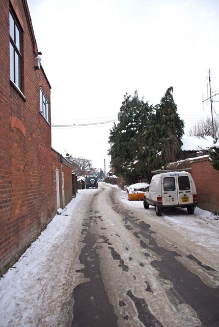
Image: © P L Chadwick Taken: 26 Dec 2010
The wall on the left is that of the Areley Kings Pharmacy. The road starts at a junction with the road known as Areley Common, and is a cul-de-sac. It is part of the original village of Areley Kings, and most of the buildings it were built before the massive expansion of Areley Kings in the second half of the 20th century. Image
Images are licensed for reuse under creativecommons.org/licenses/by-sa/2.0
Image Location
Latitude
52.327818
Longitude
-2.293426