Bad Munstereifel Rd, Sevington, Ashford
Introduction
The photograph on this page of Bad Munstereifel Rd, Sevington, Ashford by Adam Colton as part of the Geograph project.
The Geograph project started in 2005 with the aim of publishing, organising and preserving representative images for every square kilometre of Great Britain, Ireland and the Isle of Man.

There are currently over 7.5m images from over 14,400 individuals and you can help contribute to the project by visiting https://www.geograph.org.uk
Bad Munstereifel Rd, Sevington, Ashford
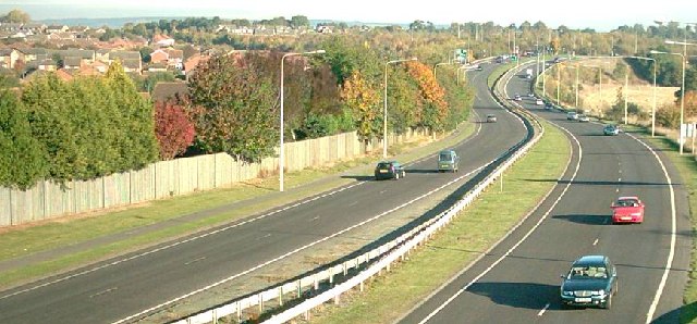
Image: © Adam Colton Taken: Unknown
Part of the A2070, this north facing view show the Ashford Southern Orbital Road as it heads towards M20 junction 10.
Images are licensed for reuse under creativecommons.org/licenses/by-sa/2.0
Image Location


Leaflet Map data © OpenStreetMap
Latitude
51.132698
Longitude
0.908793