The road to St Austell, Bojea
Introduction
The photograph on this page of The road to St Austell, Bojea by Rich Tea as part of the Geograph project.
The Geograph project started in 2005 with the aim of publishing, organising and preserving representative images for every square kilometre of Great Britain, Ireland and the Isle of Man.

There are currently over 7.5m images from over 14,400 individuals and you can help contribute to the project by visiting https://www.geograph.org.uk
The road to St Austell, Bojea
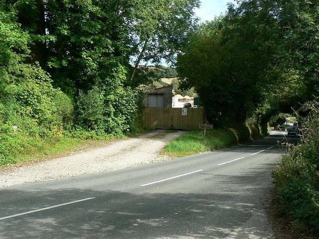
Image: © Rich Tea Taken: 4 Aug 2006
Bojea Farm is beyond the trees across the road, and the sign for Trethowel is down the road near the cars. The road is the B3274.
Images are licensed for reuse under creativecommons.org/licenses/by-sa/2.0
Image Location
Latitude
50.354282
Longitude
-4.798112