SE end of Wolseley Street, Newport
Introduction
The photograph on this page of SE end of Wolseley Street, Newport by Jaggery as part of the Geograph project.
The Geograph project started in 2005 with the aim of publishing, organising and preserving representative images for every square kilometre of Great Britain, Ireland and the Isle of Man.

There are currently over 7.5m images from over 14,400 individuals and you can help contribute to the project by visiting https://www.geograph.org.uk
SE end of Wolseley Street, Newport
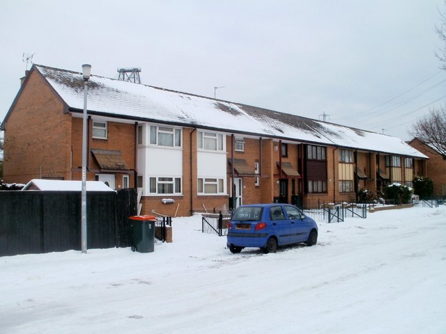
Image: © Jaggery Taken: 23 Dec 2010
Modern houses at the southern end of Wolseley Street contrast with terraced housing dating from about 1900 http://www.geograph.org.uk/photo/2206568 in the rest of the street. The houses on the opposite side of the street http://www.geograph.org.uk/photo/2206641 were probably built at the same time as these. Peeping above the roof on the left is the top of the Transporter Bridge. http://www.geograph.org.uk/photo/1624855
Images are licensed for reuse under creativecommons.org/licenses/by-sa/2.0
Image Location
Latitude
51.570479
Longitude
-2.991195