Footpath to Elphin Bridge
Introduction
The photograph on this page of Footpath to Elphin Bridge by Gordon Hatton as part of the Geograph project.
The Geograph project started in 2005 with the aim of publishing, organising and preserving representative images for every square kilometre of Great Britain, Ireland and the Isle of Man.

There are currently over 7.5m images from over 14,400 individuals and you can help contribute to the project by visiting https://www.geograph.org.uk
Footpath to Elphin Bridge
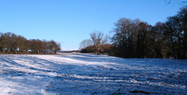
Image: © Gordon Hatton Taken: 24 Dec 2010
Footpath near Husthwaite village. The line of small trees to the left mark the line of the former railway track, whilst the taller trees to the right line the banks of Ings Beck.
Images are licensed for reuse under creativecommons.org/licenses/by-sa/2.0
Image Location


Leaflet Map data © OpenStreetMap
Latitude
54.169525
Longitude
-1.219378